Interactive course map
All 18 holes on aerial imagery. Tap a hole number or a hole on the map to zoom in; click the map for yardages to the green. Hole lines, tees, greens, bunkers and water come from OpenStreetMap.
Gallery
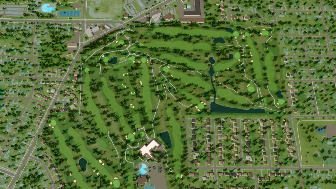
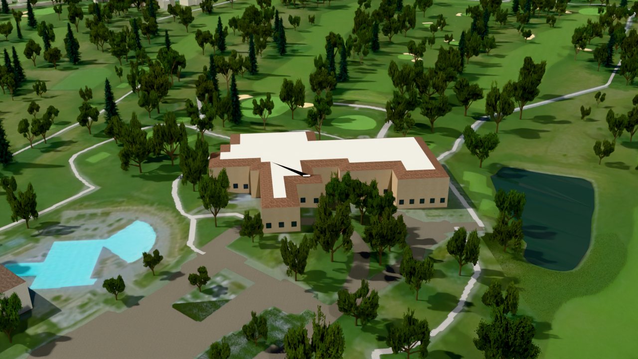
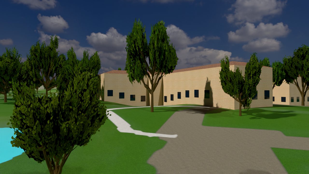
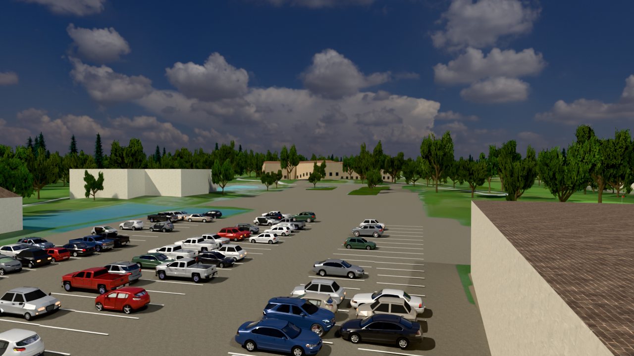
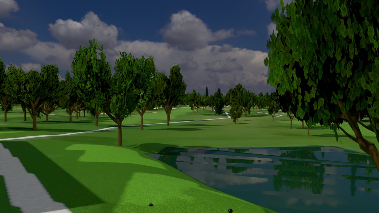
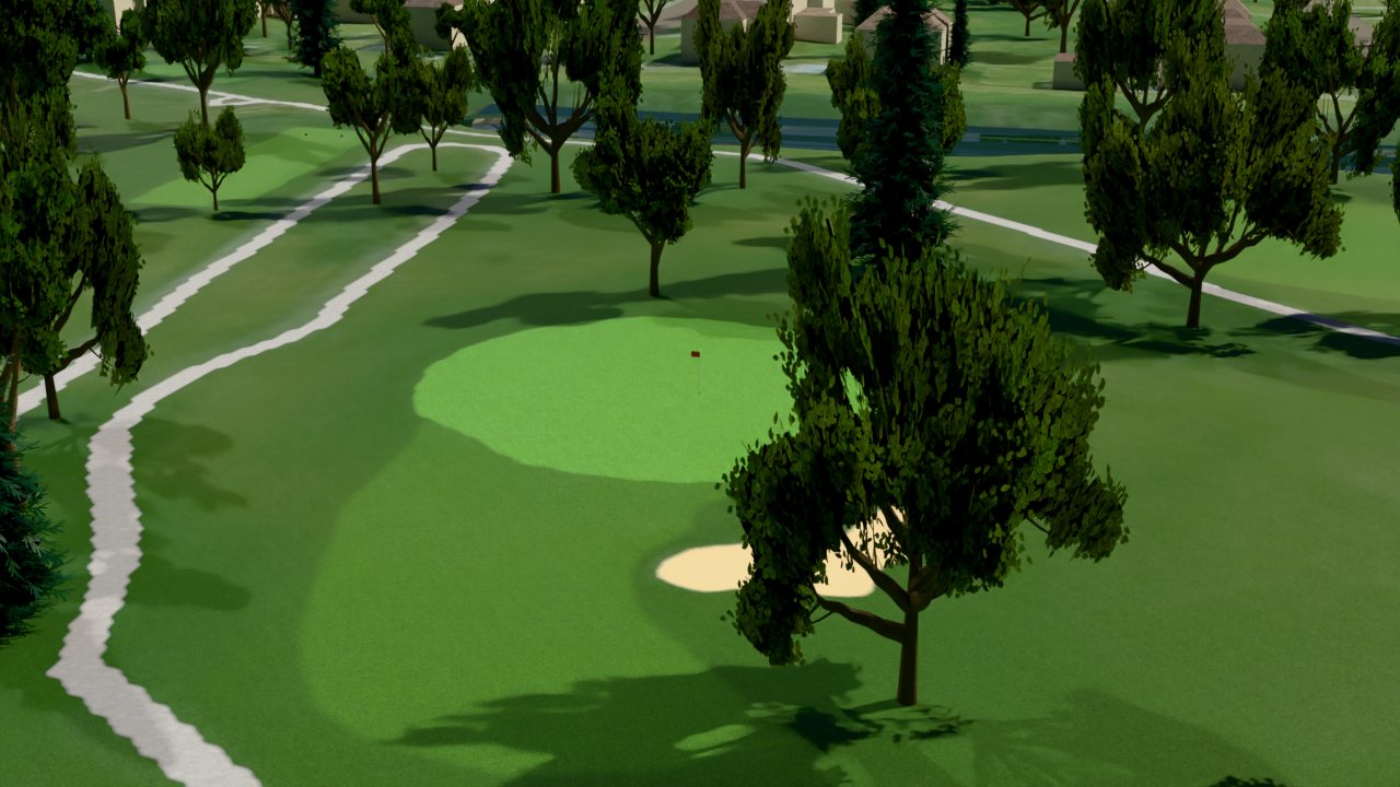
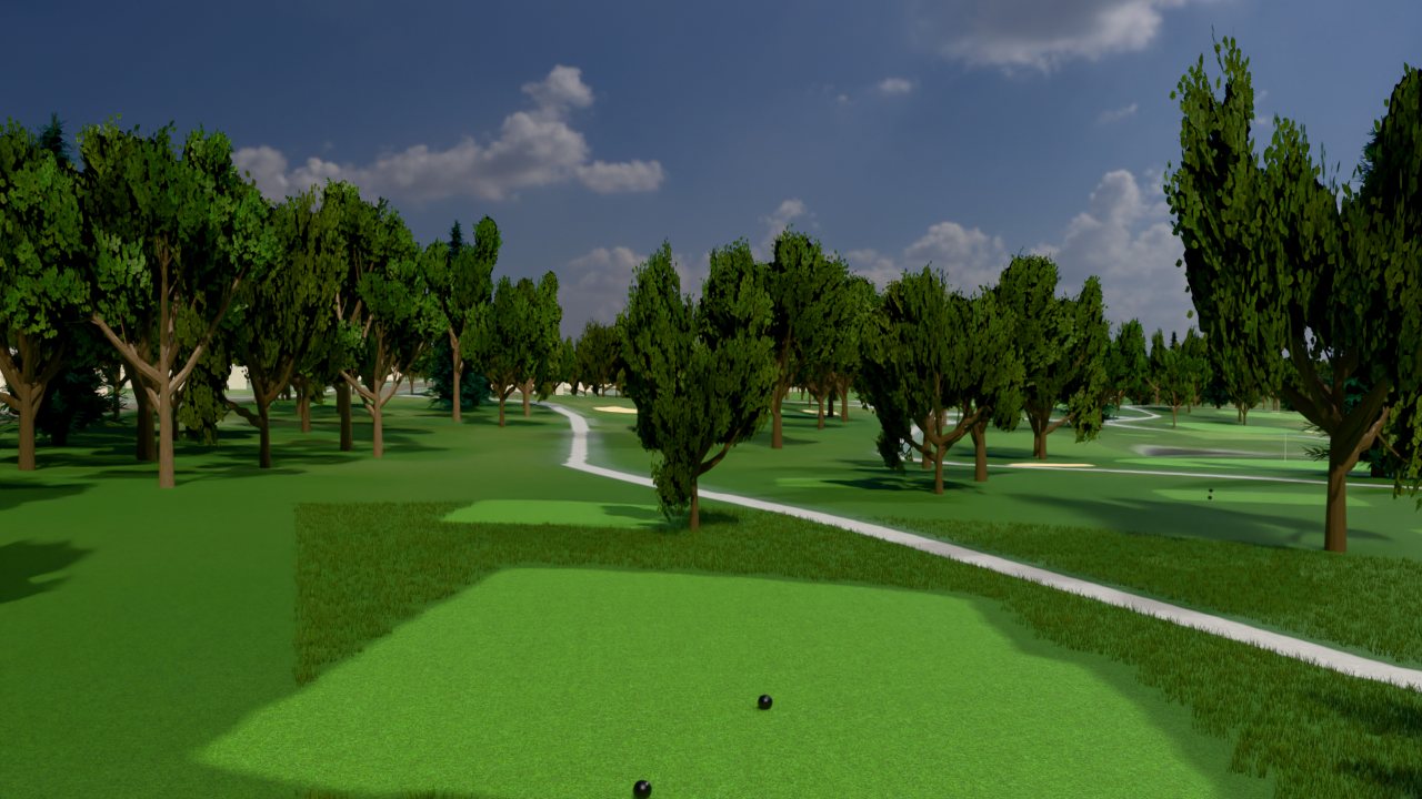
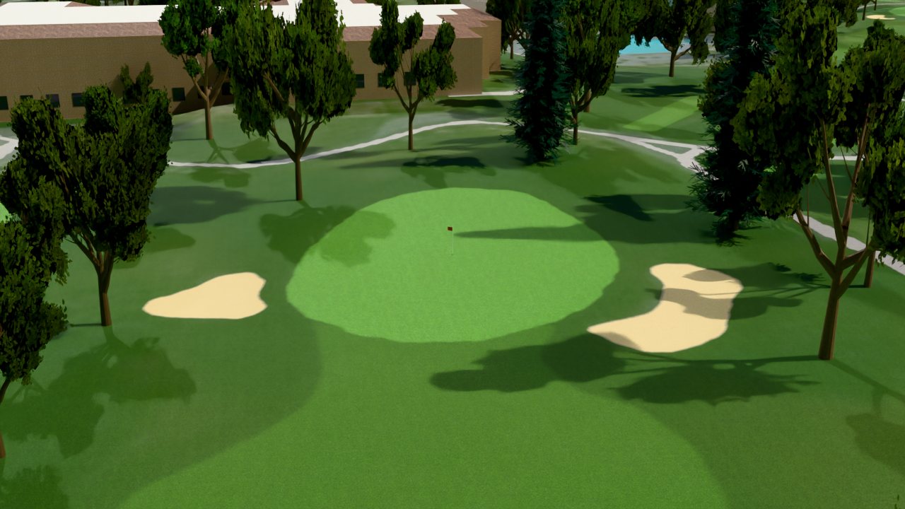
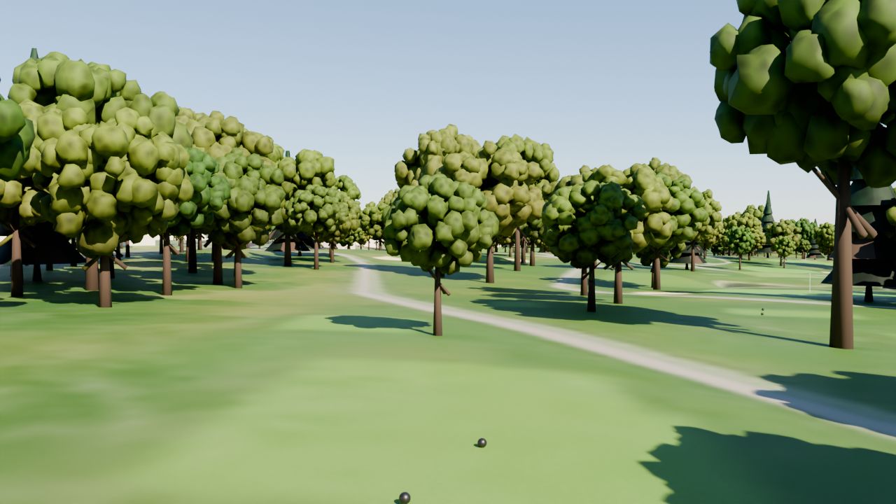
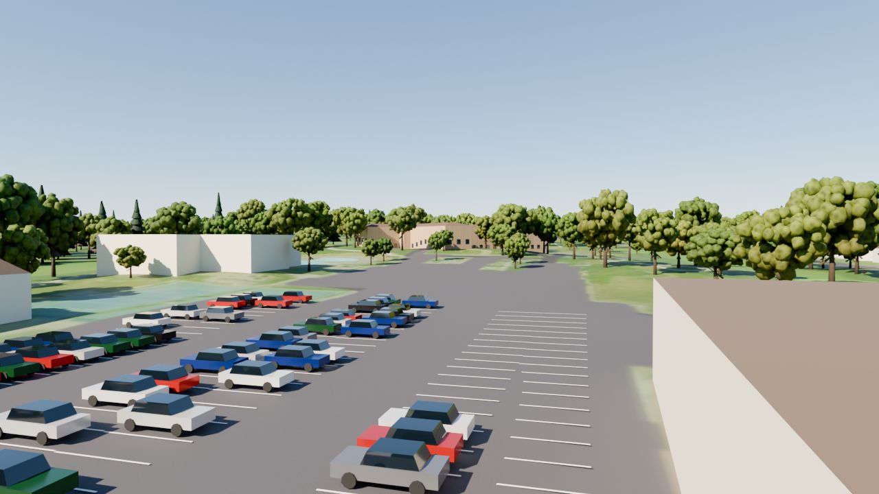
Before & after the v2 upgrade
v2 reuses the textures, tree models, cars and lighting developed for a sister project (Cedar Rapids Country Club).
Scorecard (back tees)
| Hole | 1 | 2 | 3 | 4 | 5 | 6 | 7 | 8 | 9 |
|---|---|---|---|---|---|---|---|---|---|
| Par | 4 | 5 | 3 | 4 | 3 | 4 | 5 | 3 | 4 |
| Yds | 387 | 505 | 195 | 343 | 161 | 372 | 550 | 219 | 435 |
| Hole | 10 | 11 | 12 | 13 | 14 | 15 | 16 | 17 | 18 |
|---|---|---|---|---|---|---|---|---|---|
| Par | 3 | 5 | 4 | 4 | 3 | 5 | 4 | 3 | 4 |
| Yds | 209 | 547 | 386 | 456 | 185 | 595 | 460 | 144 | 396 |
How it was made
Hole routing, fairways, greens, bunkers, water, roads and buildings come from OpenStreetMap (ODbL). Terrain is USGS 3DEP elevation; ground colour, tree canopy and the clubhouse/parking layout were derived from USGS NAIP aerial imagery. Scorecard data: GolfPass, GolfNow, OpenGolfAPI, IowaGolf.com. Rendered with Blender Cycles.
This is an unofficial fan/data project, not affiliated with Elmcrest Country Club. It is not survey-grade; the clubhouse walls and details are approximations, trees are generic models at real crown positions, and cars are stock models.